 |
 |
 |
PEOPLE OF SINDH > GEOGRAPHIC DATA
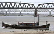
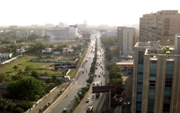
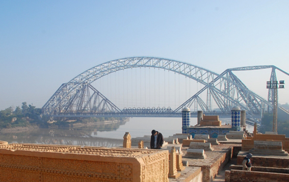
The Province of Sindh is located on the western corner of South Asia, is one of the five provinces of Pakistan, comprises of 23.7% of Pakistan's population and 18% of its land area. Geographically it is the third largest province of Pakistan, stretching about 579 km from north to south and 442 km (extreme) or 281 km (average) from east to west, with an area of 140,915 square kilometres (54,408 sq mi) of Pakistani territory. Sindh is bounded by the Thar Desert to the east, the Kirthar Mountains to the west, and the Arabian Sea in the south. In the centre is a fertile plain around the Indus river.
Sindh is divided into three climatic regions: Siro (the upper region, centred on Jacobabad), Wicholo (the middle region, centred on Hyderabad), and Lar (the lower region, centred on Karachi). The thermal equator passes through upper Sindh, where the air is generally very dry. Central Sindh's temperatures are generally lower than those of upper Sindh but higher than those of lower Sindh. Dry hot days and cool nights are typical during the summer. Central Sindh's maximum temperature typically reaches 43–44 °C (109–111 °F). Lower Sindh has a damper and humid maritime climate affected by the southwestern winds in summer and northeastern winds in winter, with lower rainfall than Central Sindh. Lower Sindh's maximum temperature reaches about 35–38 °C (95–100 °F). In the Kirthar range at 1,800 m (5,900 ft) and higher at Gorakh Hill and other peaks in Dadu District, temperatures near freezing have been recorded and brief snowfall is received in the winters.
|
|
|